Roger Labib
MArch Architecture
The Second Horizon
This thesis defines the first horizon as the landscape organized by industrial logistics and the lines that connected them throughout the Industrial Revolution, and the second horizon as its reconfiguration through data infrastructure. The obsolescences of heavy industry become the vessel that reorganizes the contemporary metropolis as it transitions from material to digital logistics, hosting the thermodynamic demands of computation.
Positioning the grain, lumber, steel, and meat industries, along with the railways, rivers, and systems that connected them, as first-horizon registers in Chicago, the project traces how material production structured the metropolis through labor, extraction, and the movement of goods. Industry did not only move material; it generated excess. Smoke, heat, labor neighborhoods, immigrant communities, and union halls emerged as consequences of productive overflow. Collective life was the byproduct of industry.
As computational infrastructures claim comparable territorial scale yet produce no equivalent excess, obsolete silos, steelworks, and logistical corridors become the substrate of a second horizon. Data centers consume at industrial scale while concealing their thermodynamic consequences; venting heat, discharging water, and withdrawing from the city.
This thesis proposes a data center embedded within the ore walls of Chicago’s South Works, where waste heat and conditioned water become generative material redirected to produce program sustained by the energy of the digital. Lines that once enabled production become instruments reorganizing the urban: a second horizon constructed through obsolescence, heat, and water.
Image
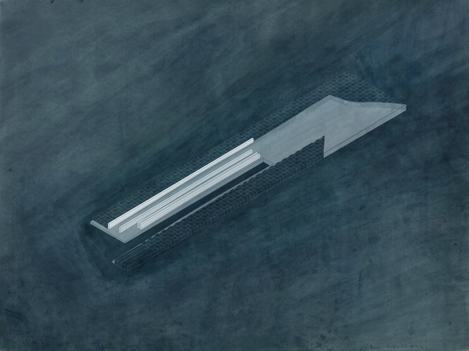
Industrial Data Pool
Image
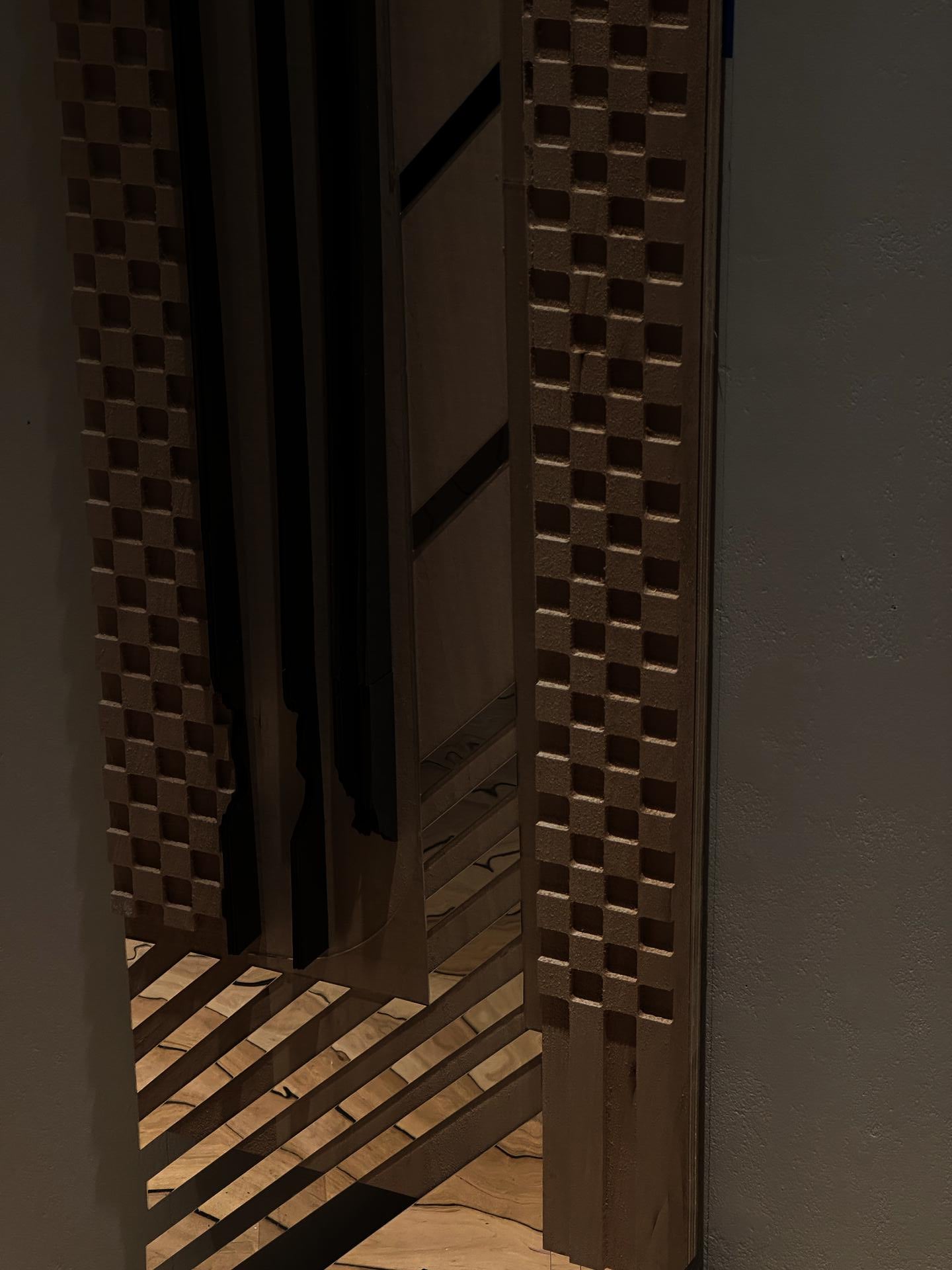
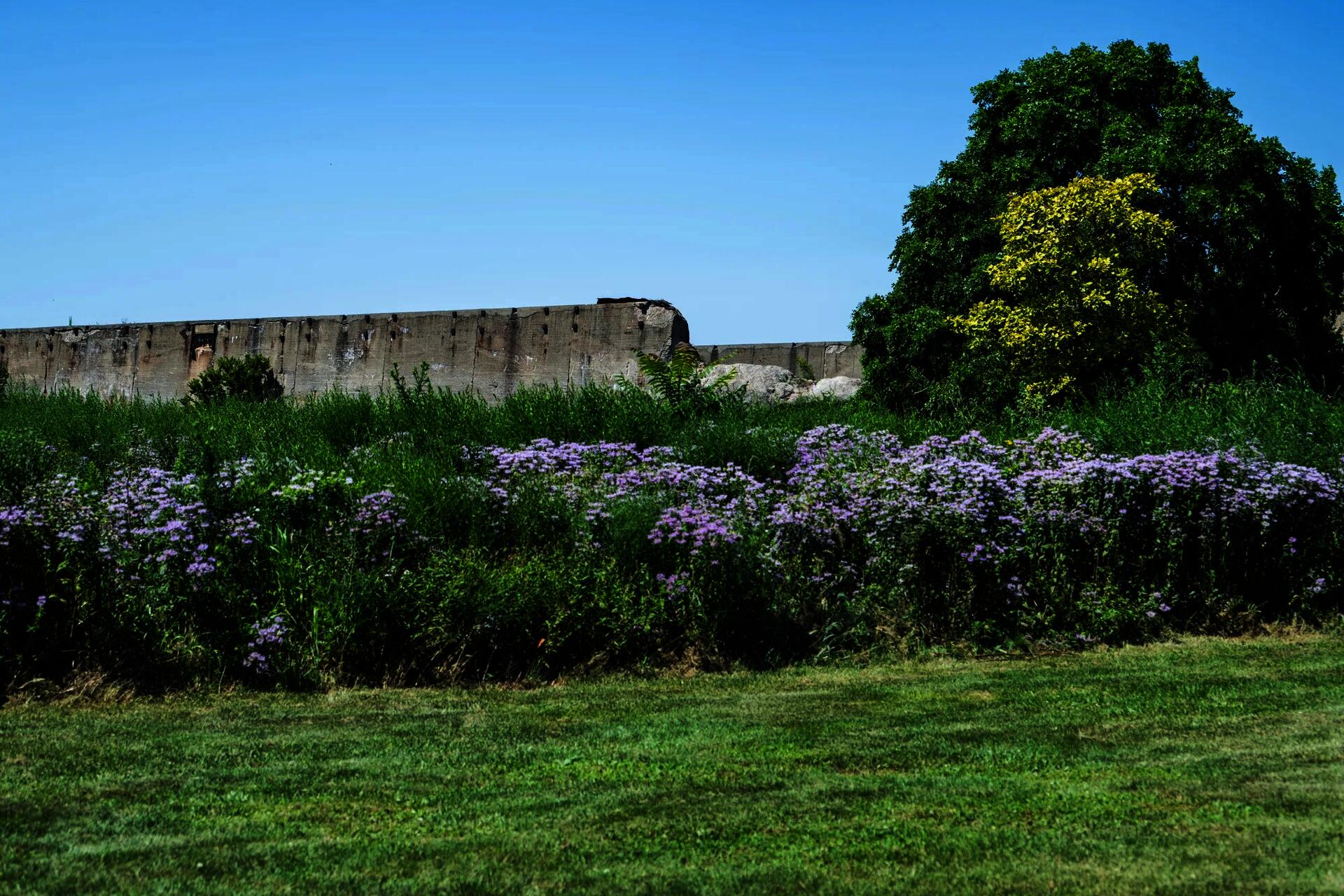
Detail Shot of Milled Site
Image
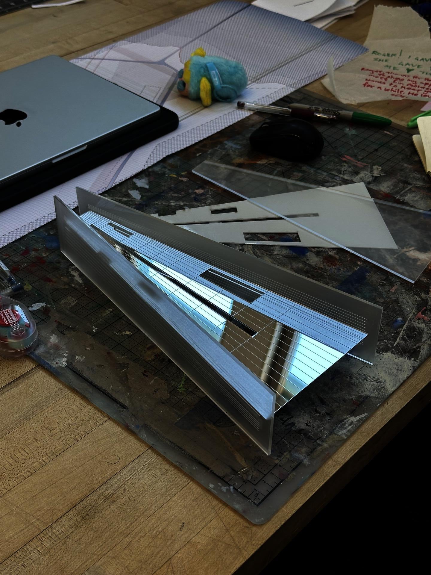
Horizon Box
Image

Industrial Map of Chicago
Image
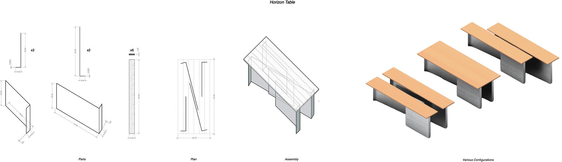
Horizon Table
Image
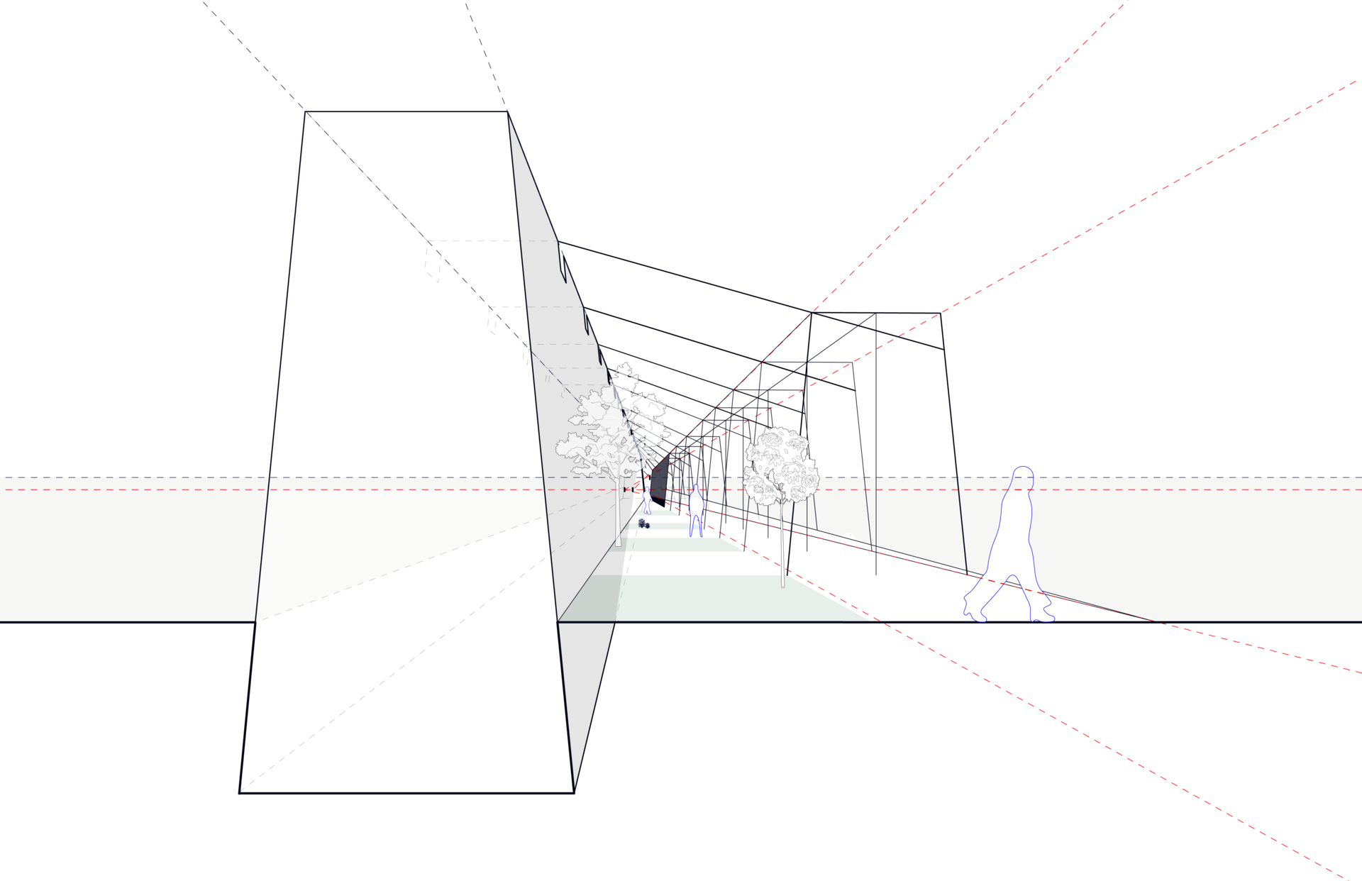
Two Horizons Meet
Image
Data Horizon Field
Image

Rhode Island School of Design
20 Washington Place
Providence, RI 02913–2784
United States of America
+1 401 454 6100
+1 800 364 RISD
QUICK LINKS
risd.edu
Graduate Studies
Image
Rhode Island School of Design
20 Washington Place
Providence, RI 02913–2784
United States of America
+1 401 454 6100
+1 800 364 RISD